North Fork Sauk River — Walk among ancient giants
Quick Facts:
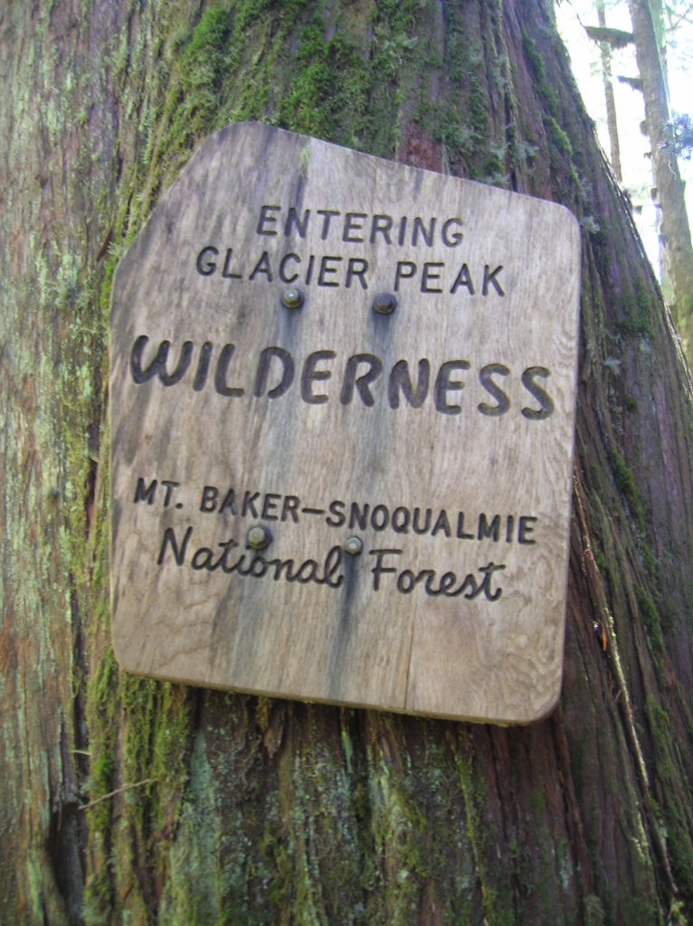
Location: Mountain Loop Highway
Land Agency: Mount Baker-Snoqualmie National Forest
Roundtrip: 11.6 miles
Elevation gain: 900 feet
Green Trails Maps: Mountain Loop Highway Map 111SX
Contact: Darrington Ranger District: Mount Baker Snoqualmie National Forest
Guidebook Resource: Day Hiking North Cascades (Mountaineers Books)
Notes: NW Forest Pass or Interagency Pass required
Access: From Darrington, follow the Mountain Loop Highway for 16 miles to a junction with FR 49 (signed for North Fork Sauk Trail). Turn left following FR 49 for 6.4 miles to a junction signed for Sloan Creek Trail. Turn left reaching trailhead and primitive campground in .1 mile.
Good to Know: exceptional old-growth forest; Glacier Peak Wilderness, wilderness rules apply, dog-friendly. kid-friendly, backpacking opportunities, Prace Leave No Trace principles
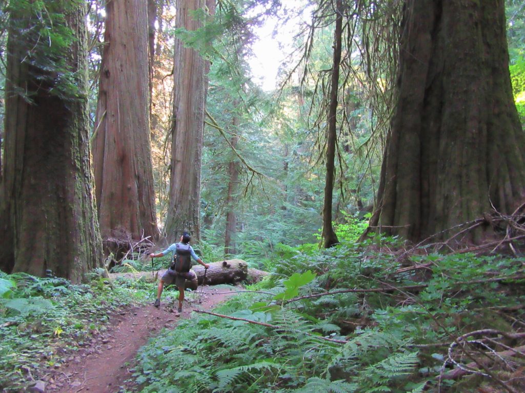
The North Fork Sauk Trail makes for a lovely late fall jaunt into the sprawling Glacier Peak Wilderness. Following a glacier fed river deep into a remote and dramatic valley, the trail traverses some of the grandest and oldest trees in the North Cascades. The trail is mostly used by backpackers to access the Pacific Crest Trail. But a day hike of a mile or two or ten will satisfy. And this trail is often pretty quiet in the fall and spring.
The trail immediately begins in a grove of giant cedars. After a couple hundred feet the trail for the Red Mountain lookout (a nice side trip) departs left. The lookout was removed in 1967, but the site still provides some decent views of the Monte Cristo Range. Continuing up valley, the North Fork Sauk is frequently out-of-sight but always audible. At 2.1 miles reach a junction with the Pilot Ridge Trail heading right to glorious high-country meadows. It’s a strenuous journey that begins with a potentially challenging ford of the river.
The North Fork Sauk Trail continues through more impressive groves of ancient conifers. In fall, vine maples add touches of gold. In late spring the forest floor is lined with yellow violets, purple bleeding hearts and white and pink trilliums. At 4.5 miles reach a backcountry camping area near crashing Red Creek. This is a good spot to turn around, but you can easily continue farther.
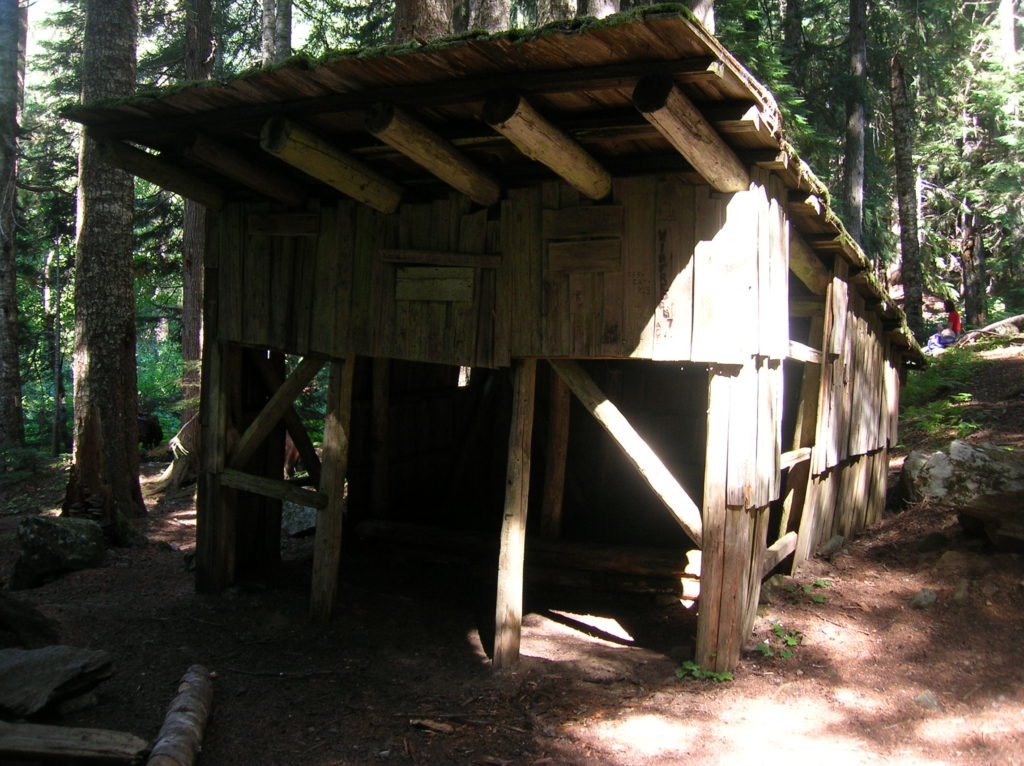
Cross raging Red Creek on a steady bridge and after passing through a large brushy avalanche zone reach the still standing Mackinaw Shelter in big timber at 5.8 miles. Forget about staying in the shelter unless you like Hantavirus. There are plenty of good campsites around the shelter. Spend the night or start heading back. The trail continues, eventually reaching the Pacific Crest Trail and some excellent backpacking destinations.
For information on lodging and other attractions near the North Fork Sauk River, visit Seattle NorthCountry (Snohomish County Tourism)

For more detailed information on this hike and many others nearby, consult my best-selling Day Hiking North Cascades book.
For a good cup of coffee, great conversation and a place to purchase one of my guidebooks, stop in before or after your hike at the Mountain Loop Books and Coffee.