Bald Eagle Peak — Old-growth, stunning views, and solitude

Quick Facts:
Location: Henry M Jackson Wilderness
Land Agency: National Forest Service
Round Trip: 13.0 miles
Elevation Gain: 2800 feet
Contact: Darrington Ranger District, Mount Baker-Snoqualmie National Forest
Green Trails Maps: Mountain Loop Highway 111SX
Notes: FR 49 is rough in spot requiring a high clearance vehicle; Northwest Forest pass required; dog-friendly, exceptional old-growth, wilderness regulations apply
Access: From Darrington, head south on the Mountain Loop Highway 16.0 miles turning left onto FR 49. Follow for 9.4 miles to Bald Eagle Trailhead.
Good to Know: dog-friendly, Wilderness rules apply; Practice Leave No Trace Principles, backpacking opportunities, old-growth
The hike starts on a long decommissioned logging road. Cross Sloan Creek on a good bridge and proceed about 2.5 miles on an old road bed through old cuts. The forest is returning nicely. The trail can get a little brushy, but was maintained in the summer of 2018. The way crosses several cascading creeks along the way. Eventually leave the old road for real trail and old-growth forest. You will immediately see and feel the difference.

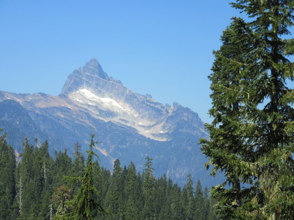
Now saunter through a beautiful forest of ancient giants. The way soon traverses wet meadows and pocket meadows along a small creek. There are a few good campsites tucked in quiet forest groves along the meadows. Good views too of the Monte Cristo Peaks to the west. The trail enters the Henry M. Jackson Wilderness and soon afterward reaches a junction at Curry Gap.
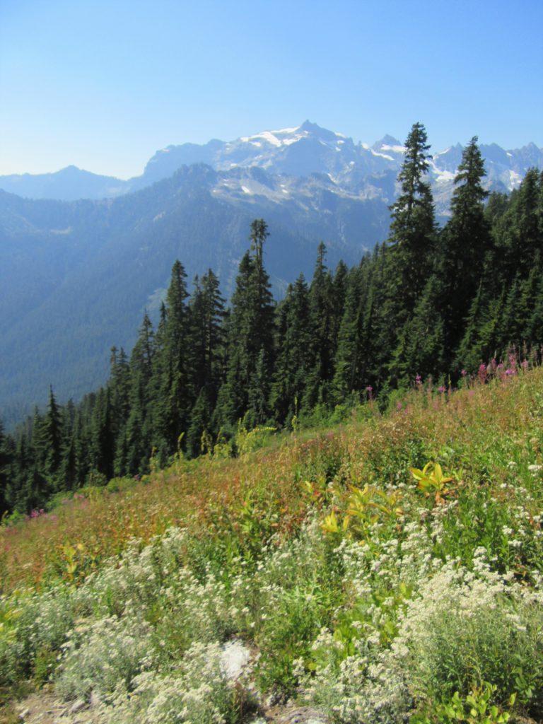
Here the Bald Eagle Trail turns left and begins a steep climb. The way is mostly timbered keeping you well shaded. As the trail approaches the ridge line it breaks out of forest to cross a large meadow granting sprawling views of the Monte Cristo Range, Sloan Peak and a slew of peaks to the south. The trail then reenters forest and climbs a little higher along the ridge before cutting across the north facing open slope below the summit of 5668-foot Bald Eagle Mountain.
This section of trail is often covered with steep hard-packed snow well into summer and should be avoided when it is. Late in the season however, it is safe to traverse. Enjoy excellent views north to Pilot Ridge and Glacier Peak. Find a good place to sit down. Then soak up the view and refuel for the return hike. The trail continues offering long distance hikers and backpackers lots of surprises. But for most day hikers, this spot is far enough.
For information on lodging and other attractions near the Mountain Loop Highway,

visit Seattle NorthCountry
For detailed information on this trail and other great hikes in the state, consult my

Backpacking Washington guidebook.