Twin Lakes (Monte Cristo) — Follow a rugged old miner’s path to a remote basin
Quick Facts:
Location: Mountain Loop Highway near Barlow Pass
Land Agency: Mount Baker-Snoqualmie National Forest
Roundtrip: 17.0 miles
Elevation gain: 3,900 feet
Green Trails Map: Mountain Loop Highway no. 111SX
Contact: Darrington Ranger District: Mount Baker Snoqualmie National Forest
Notes: Northwest Forest Pass or Interagency Pass required; A washout at the Twin Bridges requires a ford or log crossing of the South Fork Sauk River–difficult and dangerous early season and in periods of heavy rain. Dangerous snowfields sometimes linger on ridge to lakes. No fires allowed near lakes. Wilderness regulations apply.
Access: From Granite Falls follow Mountain Loop Highway east for 31 miles to Barlow Pass.
Good to Know: old-growth; seclusion; historic mining region and ghost town; practice Leave No Trace Principles; Henry M. Jackson Wilderness area;
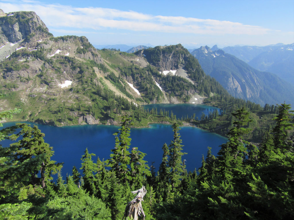
Set against a backdrop of towering snow-laced spires, the Twin Lakes are tucked in a remote, rugged and enchanting basin. Once the domain of hardscrabble prospectors, the Twins are now claimed by hardy hikers seeking stunning scenery.
Start by hiking (or mountain biking) the 4.1 mile Monte Cristo Road, closed to vehicular traffic (except for a handful of permit owners) since 1980. At 1.0 mile arrive at the Twin Bridges (no longer spanning over the South Fork Sauk). Locate a log crossing or safe place to ford; then continue along the delightful road.
At 4.0 miles reach the Monte Cristo campground near road’s end. Cross the South Fork Sauk on a good bridge and enter the old mining town turned ghost town, Monte Cristo where about a dozen structures still stand. Now cross Sunday Creek passing through a white-picket fence welcoming you to the “76” building. Then begin working your way upwards. Soon after passing the Sunday Falls overlook, enter the Henry M. Jackson Wilderness. Steadily climb through groves of big old western hemlocks and Alaska yellow cedars. After crossing Sunday Creek the way steepens, twisting up a small gully to Poodle Dog Pass reaching a junction.
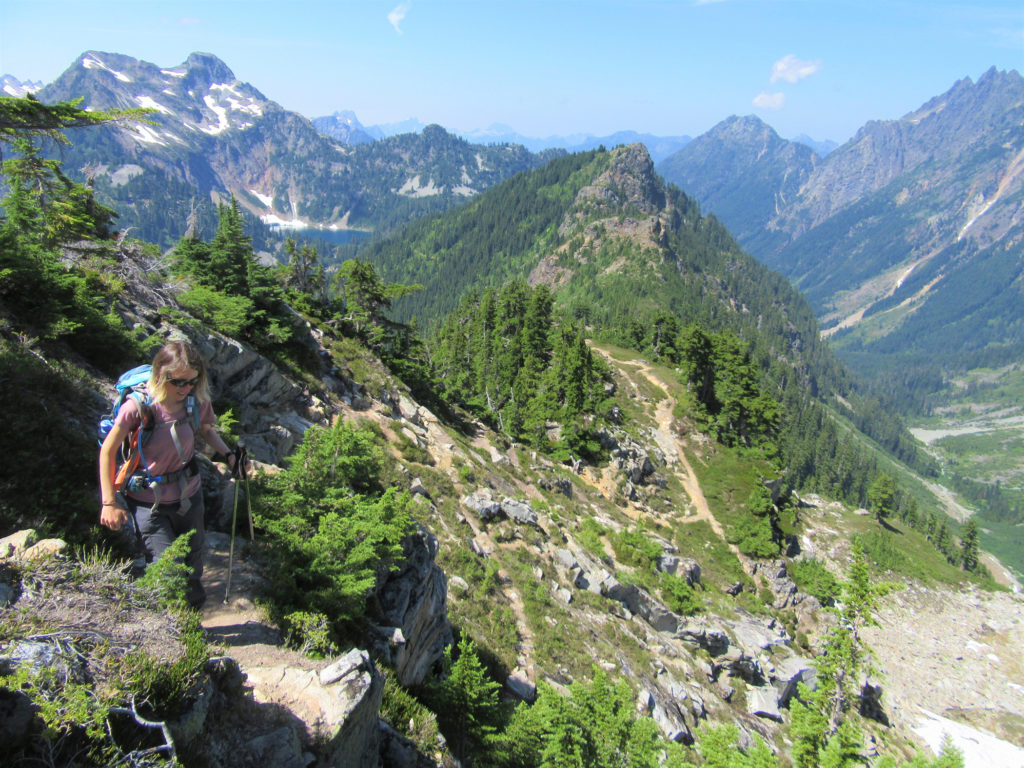
The trail right drops 100 feet in .4 mile to glistening Silver Lake tucked in a cirque beneath Silvertip Peak. For Twin Lakes continue left climbing a knoll with good views of Silver Lake, before dropping into a small saddle. Skirting ledges and steep slopes continue up a rugged ridge. After dropping to avoid cliffs the way regains the ridge crest growing steeper and increasingly more difficult heading up heather meadows and granite ledges. Expect to use hands in spots and consider turning around if snowfields persist and/or bad weather threatens. Going astray here could lead to a fatal fall.
Continue along the narrow ridge crest swinging right to avoid a wall of rock. Then traverse a steep flower field before emerging at a precarious pass. Behold the Twin Lakes twinkling 700 feet below! Using extreme caution continue along a narrow cleft before steeply dropping to the larger Twin in an open boulder-strewn basin beneath glacier-capped towering 7,172-foot Columbia Peak. Here find good camps, picnic sites and a backcountry toilet. Better camps can be found on a knoll at the lake’s outlet reached by continuing on a rough and tumble half mile trail. Here beside a waterfall crashing into the smaller Twin enjoy views across the North Fork Skykomish River to Spire Mountain.
For information on lodging and other attractions near or along the Mountain Loop Highway,
visit Seattle NorthCountry.

For detailed information on this hike and many other backpacking trips
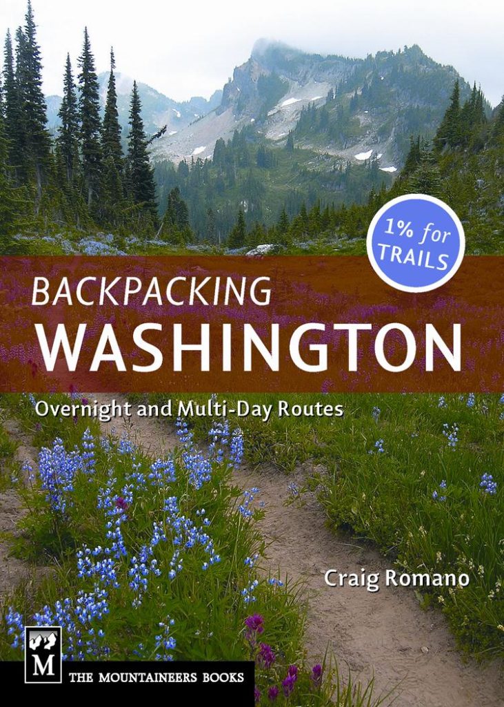
nearby and throughout Washington, consult my best-selling Backpacking Washington.
