Grand Valley–Aptly named valley has it all; lakes, meadows, and fantastic alpine scenery
Quick Facts

Location: Obstruction Point (Hurricane Ridge)
Land Agency: National Park Service
Roundtrip: 9.8 miles
Elevation gain: 2,400 feet
Contact: Olympic National Park Wilderness Information Center
Green Trails Map: Elwha North/Hurricane Ridge-No. 134S
Notes: Dogs prohibited; National Park Entry Fee required
Access: From Port Angeles follow the Hurricane Ridge Road (Heart O the Hills Parkway) for 17.5 miles. Just before approaching the Hurricane Ridge Visitors Center make a sharp left turn on gravel Obstruction Point Road and follow for 7.6 slow miles to its end at the trailhead.
Good to Know: Exceptional wildflowers, backpacking options (permit required); kid-friendly, alpine lakes, One of the 100 Classic Hikes of Washington; Practice Leave No Trace Principles
Hike to a sparkling necklace of alpine lakes in a mile high valley beneath majestic peaks. Encounter scads of wildflowers, bold stands of old-growth forest, stark alpine tundra, deer, marmots, and bear en route to this indeed grand valley. Getting here is fairly easy. The way is mostly downhill on a good trail. It’s leaving when you pay the piper as a grueling ascent awaits. But it’s all worth it!
The quickest way to GrandValley is via GrandPass, climbing along Obstruction Ridge and then brutally dropping to GrandLake. Consider a loop via Badger Valley as a saner alternative. It’s a little longer and there’s a little more overall climbing involved, but you save your knees on a gentler descent and you get to traverse some quiet backcountry. Bursting with wildflowers and fluttering with wild critters, BadgerValley is oft neglected by hikers. Don’t expect any badgers though; it was named after a ranger’s horse. Lots of Olympic marmots though and that’s close enough.

Start by heading towards Grand Ridge then head right onto the Badger Valley Trail. Descend in the wide U-shaped valley hopping over rivulets and brushing against clumps of fragrant greenery. Soon enter subalpine forest. After nearly 3.0 miles cross Badger Creek and soon afterwards come upon Grand Creek. Now begin a gradual climb to Grand Lake. After two miles of peaceful sauntering, arrive at the lake.
It’s pretty, but the next lake is grander. Proceed on stones steps through a flower-studded meadow to a junction. Your return is via the trail right. Head left. After an easy half mile emerge upon open ledges above sparkling MooseLake. Like BadgerValley, Moose is a misnomer. The lake was named for Frank Moose. No moose here; plenty of deer though. And scenery!
Surrounded by lofty pinnacles cloaked in black shale and garlanded with verdant satchels of forest, this is easily one of the most spectacular backdrops of any alpine lake in the Olympics. Savor it. But if you want to explore more; one mile beyond is little Gladys Lake set in a high bowl. When you finally must leave this grand kingdom, prepare yourself for an excruciating exodus. The trail back climbs 1,400 steep feet in 2.4 miles. But once you crest Obstruction Ridge, enjoy nearly 2.0 miles of wide-open alpine tundra back to your vehicle. What a grand trip indeed!

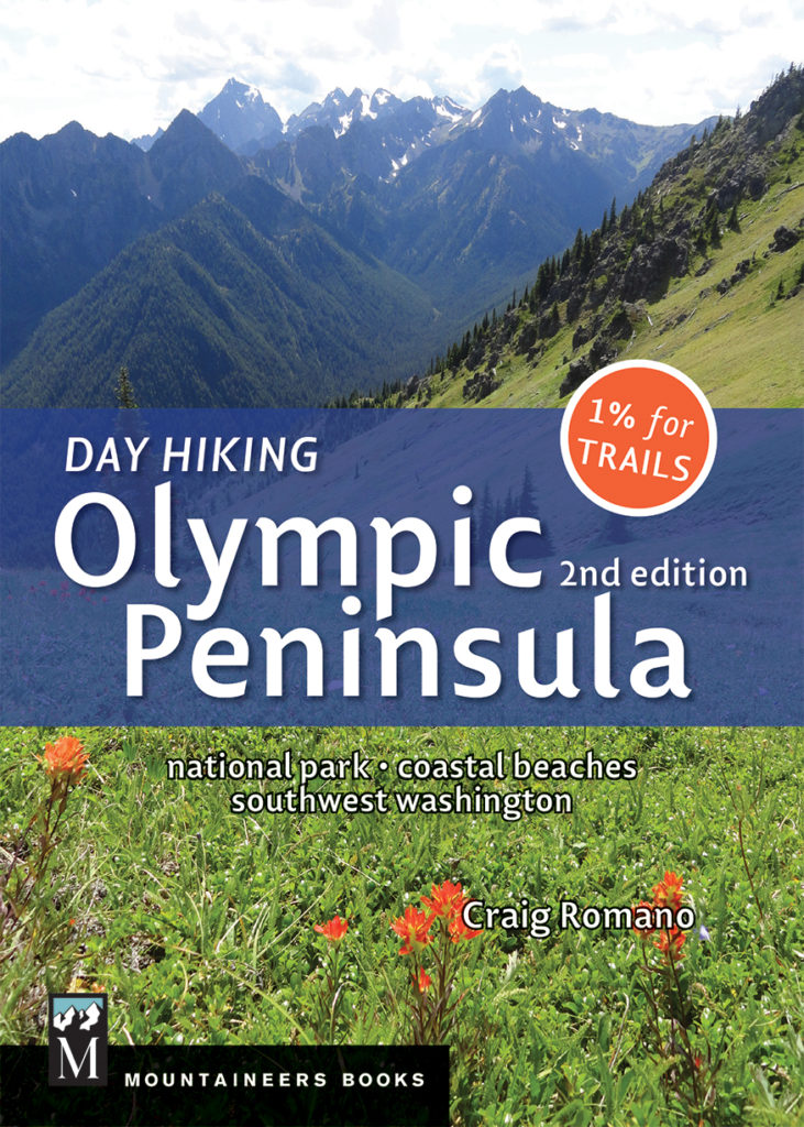
Grand Valley is one of 136 featured hikes in my best selling Day Hiking Olympic Peninsula Book. For more details on this hike and others, pick up a copy today.

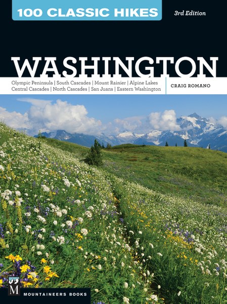
Grand Valley is also featured in my Best Selling 100 Classic Hikes Washington. Get your copy today and start exploring the best trails in Washington!
For more information on where to stay and eat near Olympic National Park, visit Northwest TripFinder.