Bedal Basin–Lonesome and beautiful basin beneath awe-inspiring Sloan Peak

Location: Mountain Loop Highway
Land Agency: Mount Baker-Snoqualmie National Forest
Roundtrip: 5.2 miles
High Point: 4,650 feet
Elevation gain: 1,900 feet
Difficulty: challenging
Green Trails Maps: Mountain Loop Highway No. 111SX
Contact: Darrington Ranger District: Mount Baker Snoqualmie National Forest
Access: Take Exit 208 off of I-5 following SR 530 east for 32 miles to Darrington. Then head south on the Mountain Loop Highway for 17.2 miles, turning left onto FR 4096. Follow FR 4096 for 3.0 rough miles to trailhead at road end.
Note: Second half of road is extremely rough, steep and brushy. Consider driving 1.4 miles to road bend with parking (start for Bedal Peak scramble route) and walking the rest of the road (which gets rougher) 1.6 miles to trailhead.
Good to know: solitude; exceptional wildflowers, historic, off-trail travel skill required, wilderness rules apply, Practice Leave No Trace principles.
Legendary mountain guide, Harry Bedal helped build this trail back in the 1920s to access his mining claim on Sloan Peak. Grandson of a Suiattle Indian Chief, Harry is perhaps best known for working with forester Harold Engles to construct the Three Fingers Fire Lookout; one of the most notorious lookouts in the Northwest. Harry also built a cabin in the high basin now bearing his name. Nature claimed his cabin some sixty years ago and has continuously taken swipes at it trying to reclaim this trail as well.

The trail receives limited maintenance and has some tricky sections requiring route finding and rock hopping. It is one of the loneliest trails off of the Mountain Loop Highway. It isn’t an easy hike, but its solitude and wilderness rewards justify any discomfort. It traverses magnificent primeval forest on its way to a boulder-strewn basin beneath Sloan Peak’s sheer southern face. The second half of the way can be tricky requiring a .4 mile slog up a steep rocky creek bed and steep forested slope.
From the trailhead, veer left onto the Bedal Creek Trail immediately entering magnificent old-growth and soon afterwards, the Henry M. Jackson Wilderness. On an easy grade, the trail undulates between towering trees and brushy avalanche swaths; Bedal Creek always nearby. After crossing a side creek (tricky in high water) soon come to Bedal Creek at about 1.5 miles. Carefully cross the creek–here a trenched rocky channel; then work your way up a forested wedge between creek flows. Soon afterwards the trail ends at a post near the base of a huge rocky outwash. This is a good spot to turnaround if you are now comfortable with off trail travel. Otherwise continue off trail for 0.4 mile.

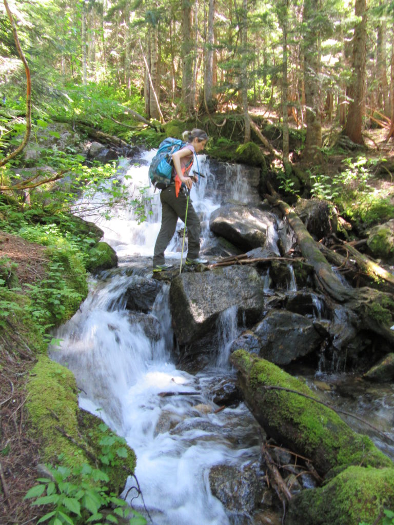
Head straight up the steep rocky creek bed. As it approaches the current creek bed, look for a small cairn and opening in the alders on your right. Follow this discernable way along the creek bed edge coming to a cascading creek on your right. Carefully cross that creek and head straight up a steep forested slope keeping the creek on your left nearby. As you approach the creek’s origin bubbling from the ground look for faint trail tread. After locating it–head right soon entering Bedal Basin.
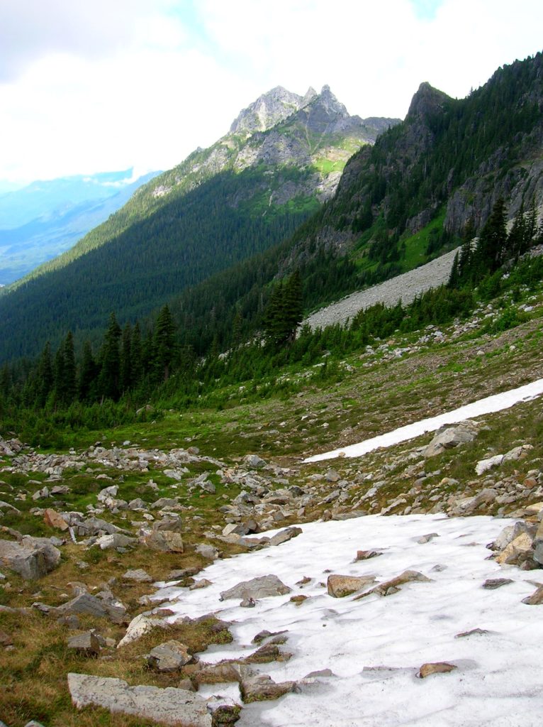
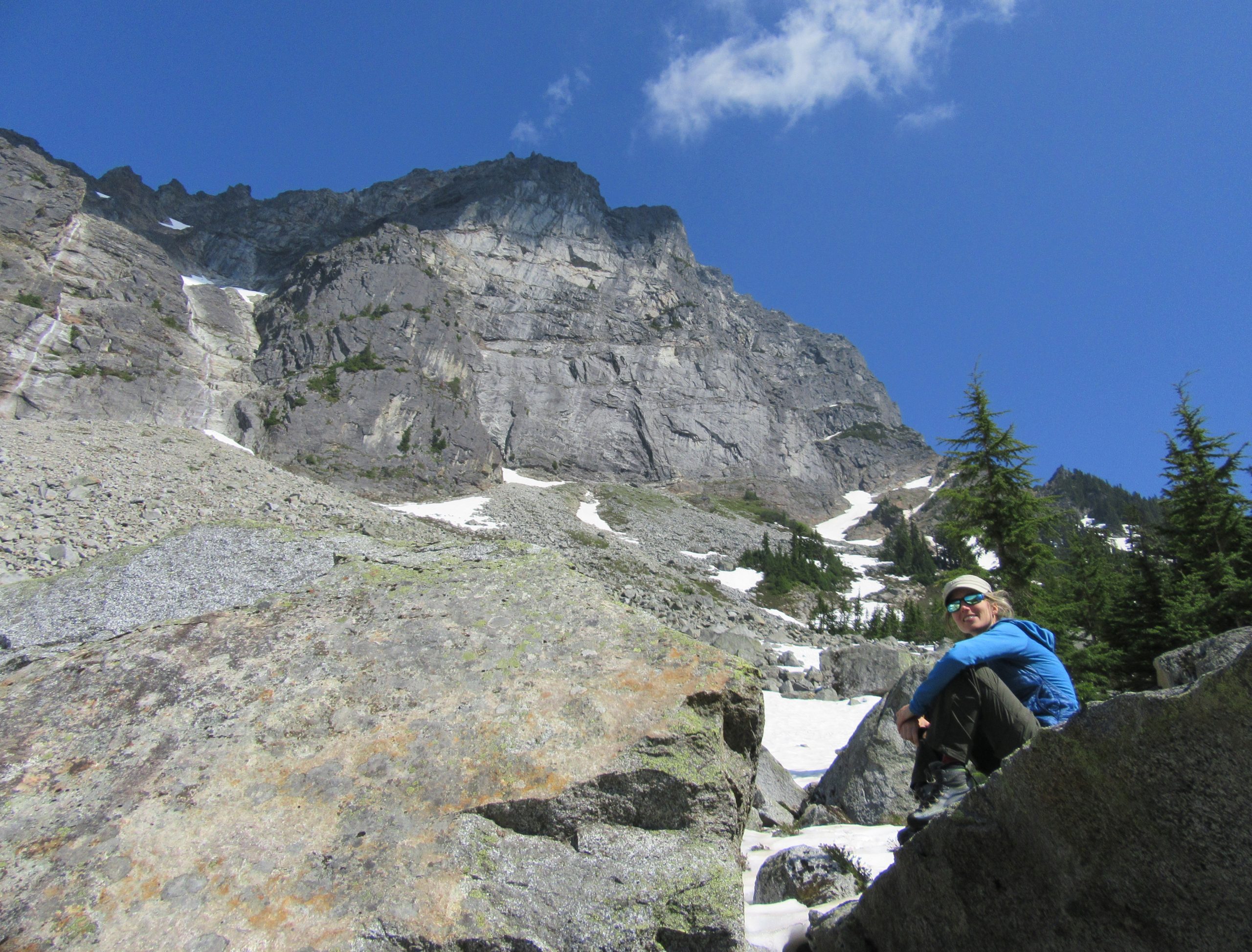
Big boulders and rocky outwashes adorned in wildflowers decorate the basin floor. It’s rugged and beautiful. Sloan Peak shadows the basin floor. Stare straight up its 2,700 feet of sheer rock face. Bedal Peak rises to the left. Mount Forgotten is seen in the distance. The remains of Harry’s Cabin are hidden between some boulders. Marmots look after it. Roam the basin or just sit and listen to the voices in the wind.

For information on lodging and other attractions near Bedal Basin, visit www.snohomish.org
For more detailed information on this hike as well as many other hikes off of the Mountain Loop Highway, pick up a copy of my best selling Day Hiking North Cascades (Mountaineers Books)!
