Ashland Lakes─old growth forest serenity

Quick Facts:
Location: Mountain Loop Highway
Land Agency: National Forest Service
Roundtrip: 5.5 miles
Elevation Gain: 800 feet
Green Trails Map: Mountain Loop Highway no. 111SX
Contact: Darrington Ranger District: Mount Baker- Snoqualmie National Forest
Access: From Granite Falls follow the Mountain Loop Highway east to the Verlot Visitors Center. Proceed for 4.6 more miles turning right onto FR 4020. Follow this rough gravel road for 2.7 miles bearing right onto FR 4021. Continue 1.4 bumpy miles, turning left onto Spur 016 reaching the trailhead in 0.2 mile. High clearance vehicles recommended.
Notes: Discover Pass required.
Good to Know: dog-friendly, kid-friendly, backpacking possibilities, solitude; exceptional old-growth
With the extremely popular Lake 22 and Heather Lake nearby, the forested Ashland Lakes are oft overlooked by area hikers. While not as dramatic as Heather and 22, the Ashland Lakes are not nearly as crowded, offering a much more serene and wild destination. And the Ashlands often are snow free earlier in the spring and later in the fall offering a good hiking choice when nearby lakes are buried in white.

Set in a primeval forest within the shadows of Mount Pilchuck, the Ashland Lakes are part of a 9,600-acre Natural Resource Conservation Area (NRCA) administered by the Washington Department of Natural Resources (DNR). Due to thier location within a major convergence zone, the Morning Star NRCA is among the wettest regions in the Cascades, receiving between 100 and 180 inches of annual precipitation. Consequently, because of heavy snowfall, the area supports an abundance of plants and ecological zones more common to surrounding areas at higher elevations.
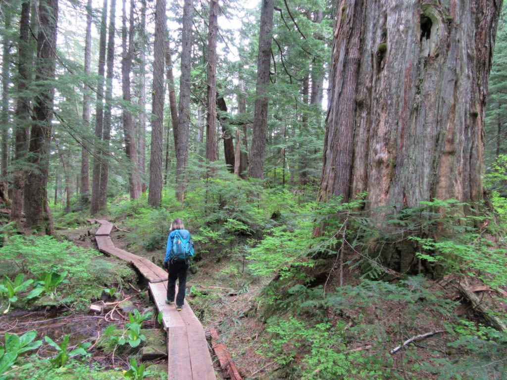
Start by hiking along on an old logging road. Traverse bog and former ancient forest and after about a half mile, cross a tannic creek on a sturdy bridge. At about 1.2 miles, leave the old road for real trail and enter old forest. Now utilizing boardwalks, and sturdy puncheon, the trail winds through a saturated forest floor. After gently ascending a low ridge take some time to admire the surrounding old growth giants.
At 1.6 miles reach a junction. The trail left heads .1 mile to little Beaver Plant Lake, a wetland of sphagnum and peat bog. While appreciating this intricate ecosystem, contemplate what a Beaver Plant may be (a factory that builds rodents or a tree that blossoms them?). Walk out on the boardwalk leading to the lake’s marshy shoreline. Nice campsites can be found here if you’re inclined to spend the night.
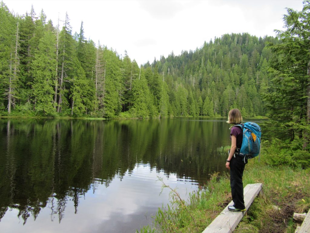
A quarter mile beyond the Beaver Plant spur, crest a 3,000-foot divide and reach another junction. The unmaintained and difficult to follow trail left heads to Bald Mountain. Head right instead for a gentle .25 mile to Upper Ashland Lake. The trail hugs the lake’s shore on sturdy boardwalks. A couple of tent platforms along the way make nice sunny napping and lunch spots.The trail continues passing more campsites near the lake’s outlet. Continue on it to the Lower Lake, losing 200 feet of elevation in .5 mile. Flanked by cliffs and talus, the lower lake sits in a more rugged setting than the upper lake. There are some great campsites here, too. Be sure to cross the lake’s outlet to a beautiful spot right on the lake.
Intrepid hikers can follow the rough in spot trail to the dramatic Twin Falls. This trail drops 500 feet in 1.4 miles ending between the two falls. It’s a rather dramatic location.
For information on lodging and other attractions near the Ashland Lakes, visit www.snohomish.org.


For more detailed information on this and many other hikes along the Mountain Loop Highway, consult my best-selling Day Hiking North Cascades (Mountaineers Books).