Lower Big Quilcene River─Lowland hike teems with primeval beauty

Quick Facts:
Location: Olympic National Forest, Hood Canal District
Land Agency: National Forest Service
Roundtrip: To Camp Jolly 10.2 miles
Green Trails Map: Olympic Mountains East 168SX
Elevation Gain: 800 feet
Contact: Hood Canal District, Quilcene
Good to Know: kid-friendly, dog-friendly, open to mountain bikes, backpacking opportunities, old-growth, exceptional rhodies, Practice Leave No Trace Principles
Access: From Quilcene drive US 101 south for 1.5 miles turning right onto Penny Creek Road. After 1.5 miles bear left onto FR 27. Continue for 3 miles to a junction. Bear right and after .4 mile turn left onto FR 27-080. Follow this narrow road .4 mile to trailhead.
Notes: Northwest Forest Pass or Interagency Pass required.
The Big Quilcene Trail to Marmot Pass is one of the most popular trails in the Olympics. Many hikers don’t realize though, it was once twice as long. The road to the trailhead severed it in two. The eastern six miles still exist as the Lower Big Quilcene Trail. And although not in the adjacent Buckhorn Wilderness, this trail is still quite wild in places. A good part of it runs through a rugged canyon cloaked in primeval forest. And while past logging has eaten away at the periphery, there are still plenty of ancient groves along the way.

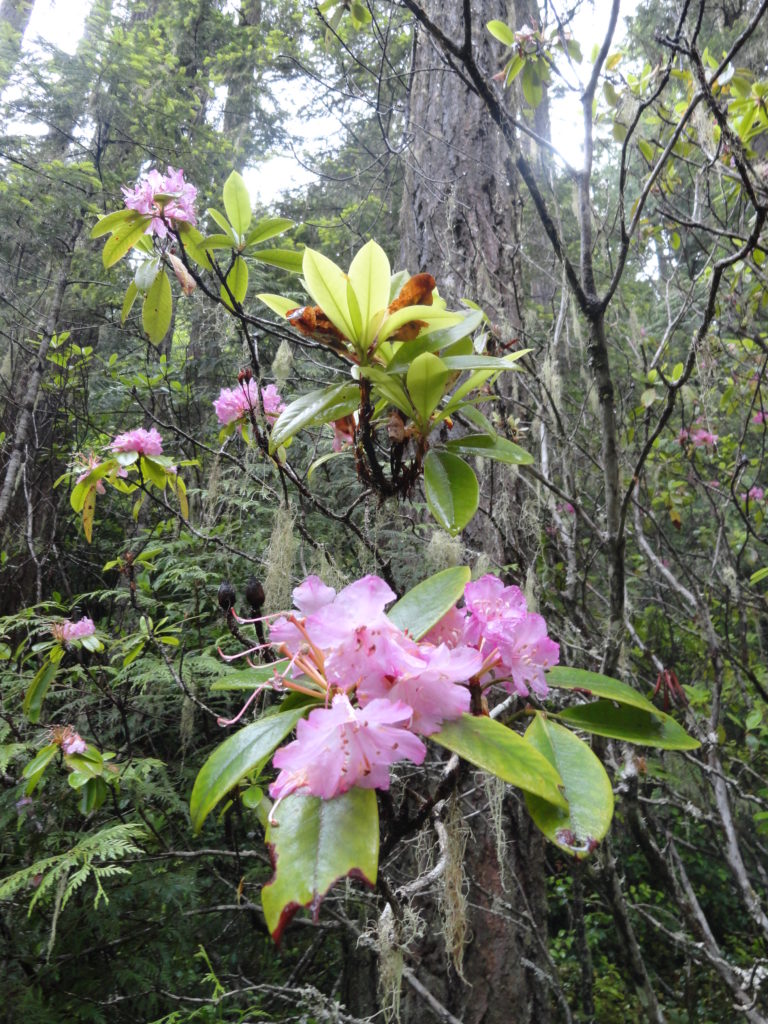
The trail climbs a mere 800 feet in its 5.0 mile journey to Camp Jolly. Besides making for an easy trek, its low elevation is ideal for a spring hike. In May and June, you’ll be rewarded with blooming rhododendrons, Washington’s showy state flower. The trail passes by old camps and shelters—testaments to when there was no shorter route to Marmot Pass. A good day hike objective is Camp Jolly, just more than five miles out. But hikers not intent on putting in that many miles can cut their hike in half opting for Bark Shanty Camp.
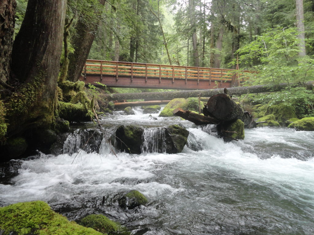
The trail starts high above the river on an old road bed. After a slight descent in the first mile it enters a steep-walled canyon. After another mile the trail finally meets up with the roaring river, crossing it on a good bridge. Now along the rushing waterway and through beautiful groves of old-growth forest reach Bark Shanty Camp in 2.6 miles. Snack, rest, turn around or carry on!
The trail continues farther up valley. Just beyond a sturdy bridge is the western terminus of the Notch Pass Trail. Continue through a series of old clearcuts before reentering primeval forest once more. At 5.1 miles arrive at Camp Jolly. Take a break by bubbly Jolly Creek before happily making your way back to the trailhead. Note that the trail continues for 1.4 more miles terminating at FR 2750. If you can arrange a shuttle, it makes a good one way hike.

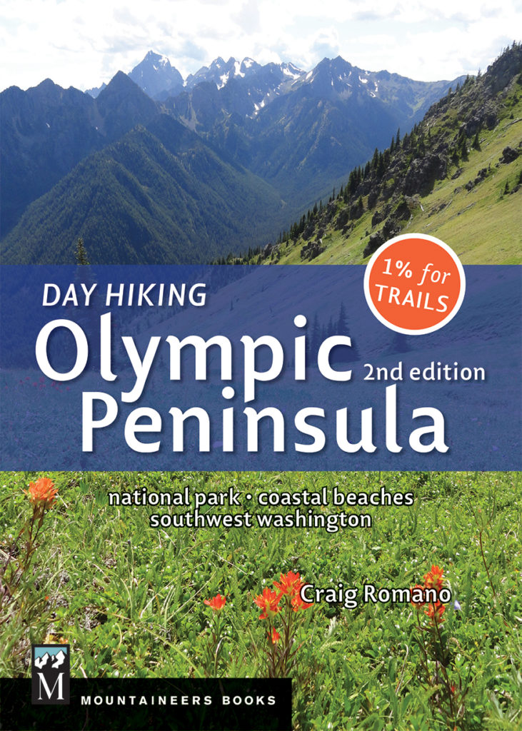
For more detailed information on this trail and 135 others throughout the Olympic Peninsula, pick up a copy of my Day Hiking Olympic Peninsula 2nd edition. This detailed up-to-date book is the most trusted trail source and best selling hiking guidebook to the Olympic Peninsula. Get your copy today!
GET YOUR COPY TODAY FOR THE UNBELIEVABLE
(REGULARLY $18.95)