Rooster Rock State Park- Hike above the Columbia River Buffs!

Quick Facts:
Location: Columbia River Gorge, Oregon
Land Agency: Oregon State Parks
Roundtrip: 3.3 miles
Elevation Gain: 300 feet
Contact: Oregon State Parks
Notes: $5.00 day use fee or $30 annual pass; dogs must be leashed
Green Trails Maps: Columbia River Gorge West No. 428S
Access: From Portland follow I-84 east to Exit 25. At .5 mile pass entrance booth and turn right proceeding .4 mile to farthest west parking lot and trailhead.
Good to Know: kid-friendly (but be aware of nude beach), snow-free winter hike, exceptional birdwatching,

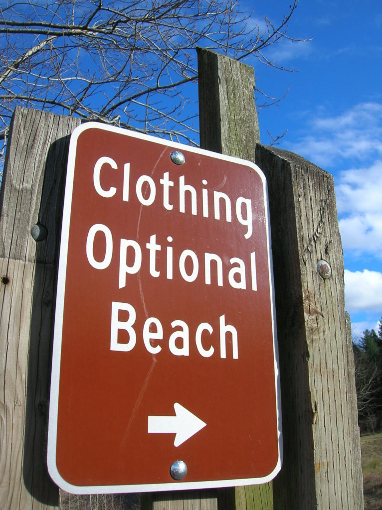
Known for its three miles of gorgeous sandy beaches on the Columbia River, this park also contains several miles of quiet trails. Lewis and Clark camped here in 1805. Early settlers named the park’s prominent and phallic rock after a euphemism for a male chicken. It was later changed to Rooster to be less offensive! And hikers offended by human flesh may want to steer clear of the park’s eastern beaches. One of Oregon’s two officially sanctioned clothing optional beaches, you’ll need to be bare aware while exploring it!
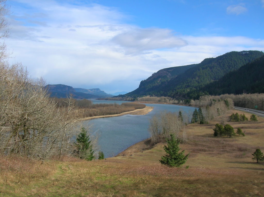
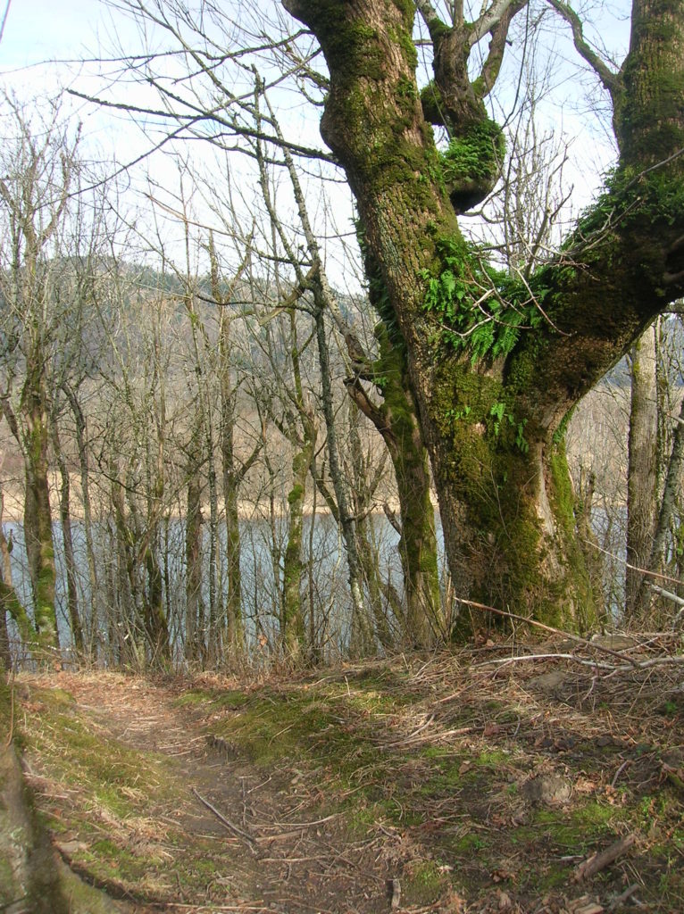
Several trails take off from the field behind the restroom station. The longest and quietest is the Forest Loop. Take it and quickly enter forest avoiding side trails to Frisbee golf stations for the first .25 mile. The trail takes to the spine of a small rolling ridge traveling through a lush attractive forest of oak and maple. Mosses drape the hardwoods while ferns line the way. Winter’s denuded cover allows for window viewing out across the Columbia to Cape Horn.
While the trail makes no significant elevation gain, its constant dipping and climbing along the ridge crest means that significant elevation is accumulated on this hike. Trail runners may find this loop quite enjoyable. Catch glimpses through the trees of Sand Island with its beautiful dunes. At about 1.3 miles the trail loops back at a nice opening in the forest at the edge of a grassy slope. Sit down on this sunny slope and enjoy the view east of the Columbia River, including scorched slopes from the 2017 Eagle Creek Fire.

Now head westward over more ups and downs and through some attractive contorted hardwoods. Eventually return to the Frisbee Golf Course with shortcuts back to the trailhead. The main trail continues straight dropping off the ridge to a meadow by the highway with good views up to Crown Point. The trail concludes at the Group “A” Picnic Area. From here follow a paved path to the large parking lot and then walk east a short distance to retrieve your vehicle.
If you want to so some more hiking, check out the trails leading to the beach; an area I refer to as the “Columbia River Buffs!” To minimize exposure to the fully exposed, opt for cold windy days in winter.

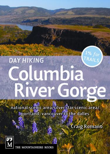
For detailed information on this trail and many more in the region, pick up a copy of my Day Hiking Columbia River Gorge (Mountaineers books). This wonderful guide includes 100 trails (50 in Oregon, 50 in Washington) from the Portland-Vancouver metro area to beyond The Dalles. Pick up your copy today!

For information on other things to do in the area and on where to stay, consult Northwest TripFinder.