North Lake–Secluded Lake off popular Mountain Loop Highway

Quick Facts:
Location: Mountain Loop Highway near Granite Falls
Land Agency: Mount Baker-Snoqualmie National Forest
Roundtrip: 6.4 miles
High Point: 4,900 feet
Elevation gain: 2,300 feet
Difficulty: difficult
Green Trails Map: Mountain Loop Highway no. 111SX
Contact: Darrington Ranger District
Notes: Access road is rough in spots; high clearance recommended
Access: From Granite Falls follow the Mountain Loop Highway east for 26 miles. Just beyond the entrance for the Big Four Picnic Area, turn left onto FR 4060. Follow for 4.8 miles to trailhead at road’s end.
Good to know: dog-friendly, old-growth forest, trail less travelled, backpacking opportunities

It’s a tough trek up, over, and down a steep and rocky ridge to North Lake; a fair price to pay for losing the crowds that often frequent the neighboring trails on the popular Mountain Loop Highway. The way begins in an old cut, but primeval forest is
soon encountered after negotiating a series of short switchbacks. Drop-then climb and in less than a mile reach popular Independence Lake sitting in a rugged little basin, flanked on the west by ancient trees and on the east by rocky slopes. It’s a nice spot, but North Lake waits.

Continue onward up then down along the western shore to the marshy and brushy north end of the lake before beginning to climb, steeply at times. En route, be sure to take time to admire a massive double-trunked Alaska yellow cedar, one of the largest outside Mount Rainier and Olympic national parks.
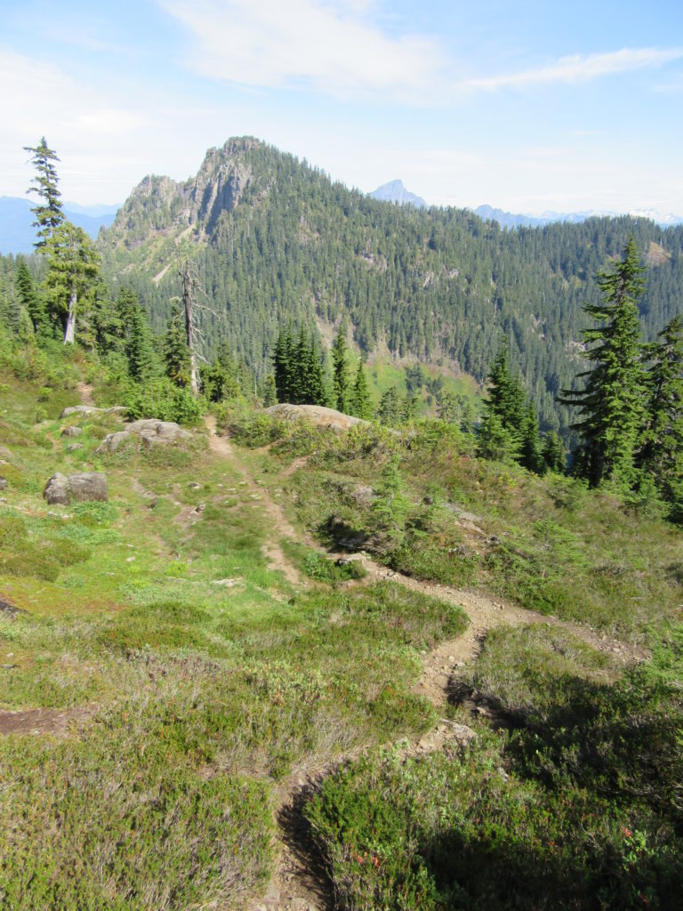
Continue clamoring on a rough and tumble ascent. Bear right at the junction with the Helena Ridge Trail (an old abandoned trail that volunteers have recently been reopening). Work your way to a ridge where there are some decent window views. Then continue through heather meadows passing a small tarn. Just off to your right is a larger tarn reached by an obvious trail. This picturesque body of water, often mistaken for North Lake by wishful hikers is never-the-less worth exploring and a good spot for those not inclined to continue on.
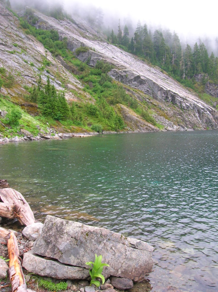
North Lake bound hikers need to go left at this confusing junction and head up some talus climbing another 200 feet reaching a narrow shoulder on Independence Mountain. From here the lake lies 800 feet below in a basin of glacier-scoured ledges and fields of heather. Carefully make your way down the steep path passing tarns, talus, and cascading creeks to the secluded lake. Not much room to wander, but you shouldn’t have to worry about sharing this spot with too many fellow hikers.

For information on lodging and other attractions near Independence Lake visit www.snohomish.org

For more detailed information on this hike and scores of others nearby, consult my best selling Day Hiking North Cascades guidebook.