Balch Creek–Dramatic Ravine a Forest Park highlight

Location: Forest Park, Portland, Oregon
Land Agency: Portland Parks and Recreation
Roundtrip: 2.4 miles
High Point: 425 feet
Elevation gain: 300 feet
Difficulty: easy
Green Trails Map: Forest Park No 426S
Contact: Contact/permits: Portland Parks and Recreation ; Forest Park Conservancy; Notes: dogs must be leashed
Access: From downtown Portland, follow NW Vaughn Street west turning left onto NW 26th Ave. After one block, turn right onto NW Upshur Street and continue .4 mile to road’s end at trailhead at Lower Macleay Park.
Good to know: kid-friendly, historic, year-round hiking, old-growth, trailhead accessible by public transportation

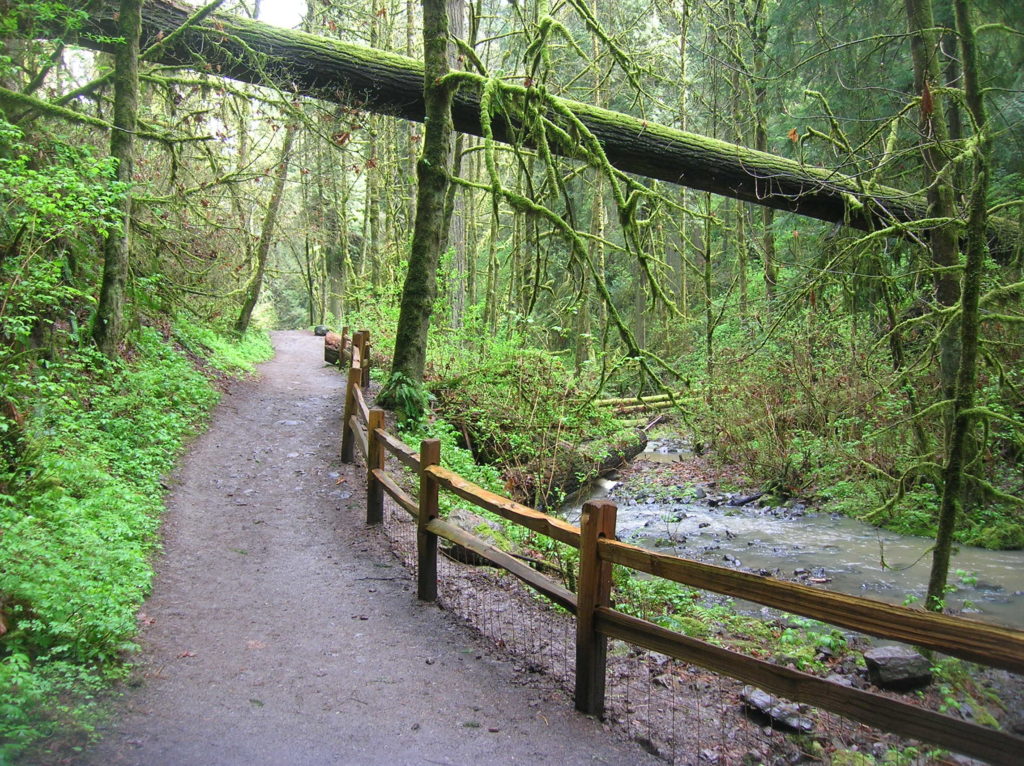
Balch Creek slices through the Tualatin Mountains, Portland’s green backdrop, via a gorgeous ravine. While much of the 5,100-plus acre Forest Park consists of a fairly uniform landscape of rolling hills covered by second and third growth—the scene is dramatically different here. Perhaps the most scenic and diverse trail within the park; hikers of all ages and abilities will delight over Balch Creek’s waterfalls, old-growth groves, and the ruins of an eloquent old stone building that once offered rest to weary walkers.
In 1897 prominent Portland businessman and proud Scot Donald Macleay, gave the city of Portland a sizeable chunk of property in commemoration of Queen Victoria’s 60th year of reign—and in protest of high property taxes! He’d rather his land become a park than to pay the high taxes on it. Macleay Park has since been absorbed into the greater Forest Park complex.
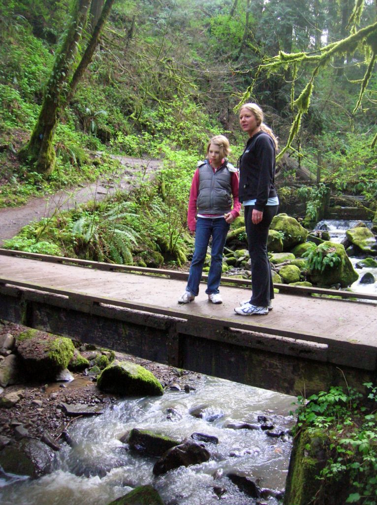
Follow the trail under a high old bridge coming to the creek disappearing into an old wooden catch. Downstream from here the creek is submerged beneath industrial flats to the Willamette River. Upstream, it’s a delightful bubbling waterway! Cross the creek entering the heavily wooded canyon. Continue upstream passing charming little falls and rapids. Cross the creek once more at a pretty little waterfall. Take time to notice the forest too. Some of Portland’s biggest and oldest trees adorn this canyon; including a massive Douglas-fir, an official city of Portland Heritage Tree.
At just shy of a mile reach the 30-mile long Wildwood Trail at the old stone house. The intriguing and eloquent building may have you pondering its origin; Inn? Country cottage? Tea House? Nope, it was a pee house! Built by the Works Project Administration (WPA) in 1936, the old stone house served as a public restroom until 1962. Now continue straight on the Wildwood Trail upstream for another .3 mile to a bridge spanning Balch Creek. From here the trail climbs out of the canyon, making this a logical turning around spot.

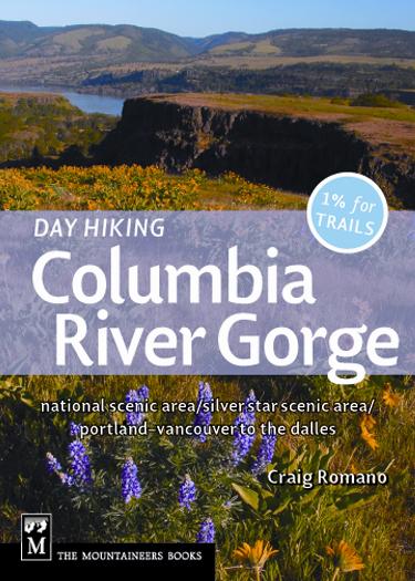
For more information on this hike and many others in the greater Portland-Vancouver area consult my Day Hiking Columbia River Gorge guidebook.
For more information on where to stay, play, eat, and enjoy the attractions of Portland check out Northwest Trip Finder.