West Elwha Trail─Quiet hike along a roaring restored river
Quick Facts
Location: Elwha Valley, North Olympic Peninsula
Land Agency: Olympic National Park
Roundtrip: 5.0 miles
Elevation Gain: 500 feet
Green Trails Map: Green Trails, Elwha North Hurricane Ridge-No. 134S
Access: From Port Angeles head west on US 101 for 8 miles. Turn left (south) onto the Olympic Hot Springs Road (signed Elwha Valley) and proceed for 5.0 miles (passing national park entry booth) to Altair Campground. Trail begins near site number 21.
Notes: National Park entry fee required. Dogs prohibited. Campground closed during winter and early spring. Park at gate and walk 0.25 mile to trailhead.
Contact: Olympic National Park Wilderness Information Center (360) 565-3100; www.nps.gov/olym
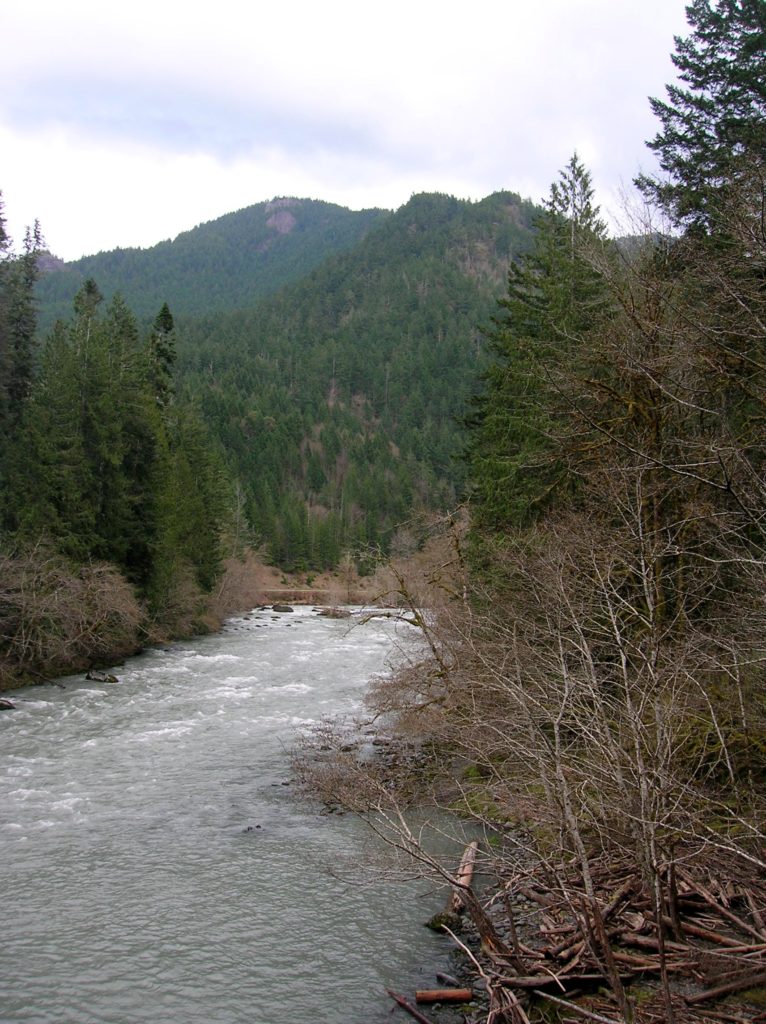
One of the quieter trails in the busy Elwha Valley, the West Elwha Trail is also one of the easiest to access. Beginning in the popular Altair Campground, this delightful trail follows the mighty river downstream along its west bank, away from roads and away from crowds. Hikeable all season, this trail makes a nice alternative to the oft-crowded Elwha River Trail, located just a few miles upstream.
So why is this trail a secret? Wedged between its two formerly dammed sections, this segment of the Elwha is overlooked. And even though it originates in a well-loved campground, many a hiker starting out on this trail gets discouraged on the first half mile. The trail climbs 250 feet up a steep hillside away from the river tricking unsuspecting hikers that it is leaving the roaring waterway.
But in actuality the trail is just merely bypassing a tight draw. It returns to the Elwha on a high bank providing wonderful views of river rapids and the high craggy peaks across the valley. Look for eagles perched in riverside snags. Plenty of deer frolic in the surrounding forest. And speaking of this forest, the trail traverses fine groves of low-country old-growth.
Equally impressive as the fast-flowing Elwha is crashing Hughes Creek, encountered about one mile into the hike. Cross and admire it from a sturdy log bridge. The creek careens out of a canyon draining the steep slopes of Mount Baldy and Happy Lake Ridge. The trail eventually veers away from the Elwha and heads out of the park terminating on Herrick Road. A good turning around point is Freeman Creek at 2.5 miles, reached just before the trail climbs again. However, remember that you’ll need to renegotiate that first climb once more—so save some energy by lingering by the river a little bit longer.
For more information on this hike and other winter hikes consult my Winter Hikes of Western Washington Card Deck (Mountaineers Books).