Big Four Ice Caves─Snowshoe along the Stilly to an iconic Mountain Loop Destination
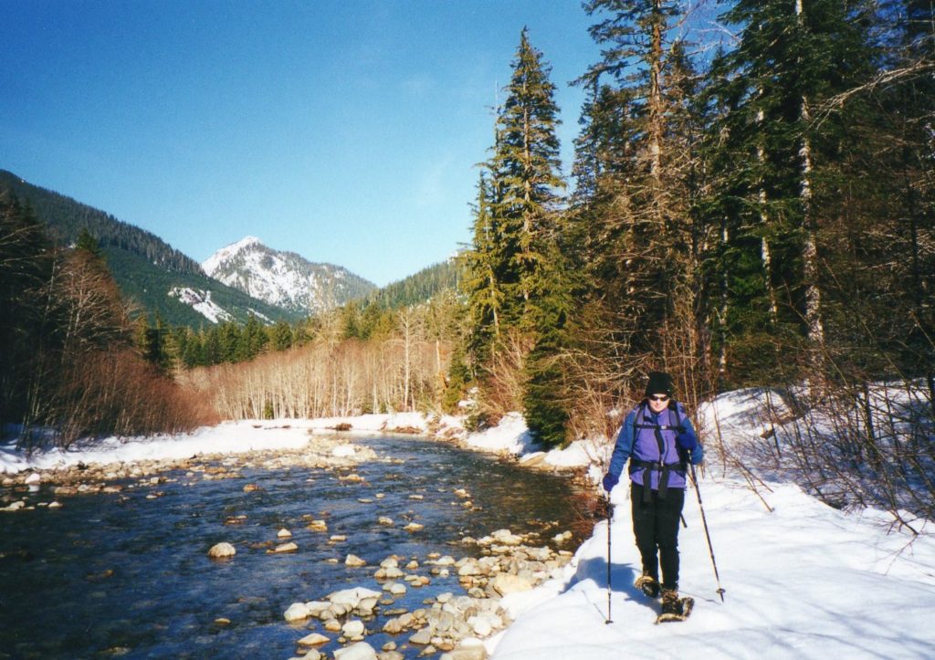
the South Fork Stillaguamish River
Quick Facts
Location: Mountain Loop Highway near Granite Falls
Land Agency: Mount Baker-Snoqualmie National Forest
Roundtrip: 7.0 miles
Elevation Gain: 300 feet
Note: Northwest Forest Pass required; part of route is on Mountain Loop Highway which is open to snowmobile use.
Access: From Granite Falls, follow the Mountain Loop Highway east for 23.5 miles to Deer Creek Parking Area.
Contact: Darrington Ranger District: Mount Baker Snoqualmie National Forest (360) 436-1155; www.fs.fed.us/r6/mbs
From summer to fall the short and easy trail to the Big Four Ice Caves Trail is one of the most popular hikes off of the Mountain Loop Highway. But what about during the winter when the road leading to the trailhead is closed and the caves have yet to form? It’s still a popular destination, for the way to Big Four offers one of the easiest snowshoe and cross country ski routes in the area. You won’t see any ice caves, but you can still marvel at Big Four Mountain’s impressive north face and of the avalanche deposits at its base that will give birth to new caves as warm weather becomes the norm.
Starting from the very popular Deer Creek Parking Area on the Mountain Loop Highway, don you snowshoes or skis and begin marching east up the gated road. Unfortunately this route is also open to snowmobiles, so you won’t exactly have a tranquil experience. But the snowmobiles do pat down the deep snow making the trekking a little easier and the majority of the snowmobilers are friendly folks. Try to venture out on a weekday if you want a more peaceful trip—and there are plenty of places on the route that you can hike along the river parallel to the busy roadway.
After about 2.5 miles of very gentle going through old-growth forest along the South Fork of the Stillaguamish you’ll reach the Big Four Trailhead and Picnic Area, where a grand hotel stood from 1921 to 1949. Find a table if you can and stop for lunch—then head south on the trail across frozen wetlands. The route is now non-motorized so the only loud noises you should be hearing now are from the South Fork Stilly.
A big bridge helps you cross the river and another bridge shortly afterward spans Ice Creek. From there wind through thinning forest to reach an open flat near the base of Big Four Mountain. Stay well away from the base where avalanches regularly careen off the sheer north face of the mountain. All of this snow accumulation will eventually become a series of ice caves as water and warm air carve through the snow. A return trip later in the season is a must to see the caves. In the meanwhile, savor the winter and admire the forces that make one of the biggest attractions off of the Mountain Loop Highway.
For information on lodging and other attractions near the Big Four Ice Caves visit www.snohomish.org.