Huckleberry Mountain — Savor solitude high above the Suiattle River
Quick Facts:
Location: Suiattle River Valley
Land Agency: National Forest Service
Roundtrip: 13.0 miles
Elevation Gain: 4600 feet
Contact: Darrington Ranger District: Mount Baker Snoqualmie National Forest
Green Trails Map: Mountain Loop Highway Map 111SX
Notes: Glacier Peak Wilderness-wilderness rules apply; Practice Leave No Trace Principles
Access: From Darrington travel north on SR 530 turning right onto FR 26 (Suiattle River Road immediately after the Suak River Bridge. Then follow FR 26 first on pavement, then gravel 14.5 miles to the unobtrusive trailhead on your right.
Good to Know: alpine views, dog-friendly, wildflowers, solitude, backpacking opportunities, Glacier Peak Wilderness
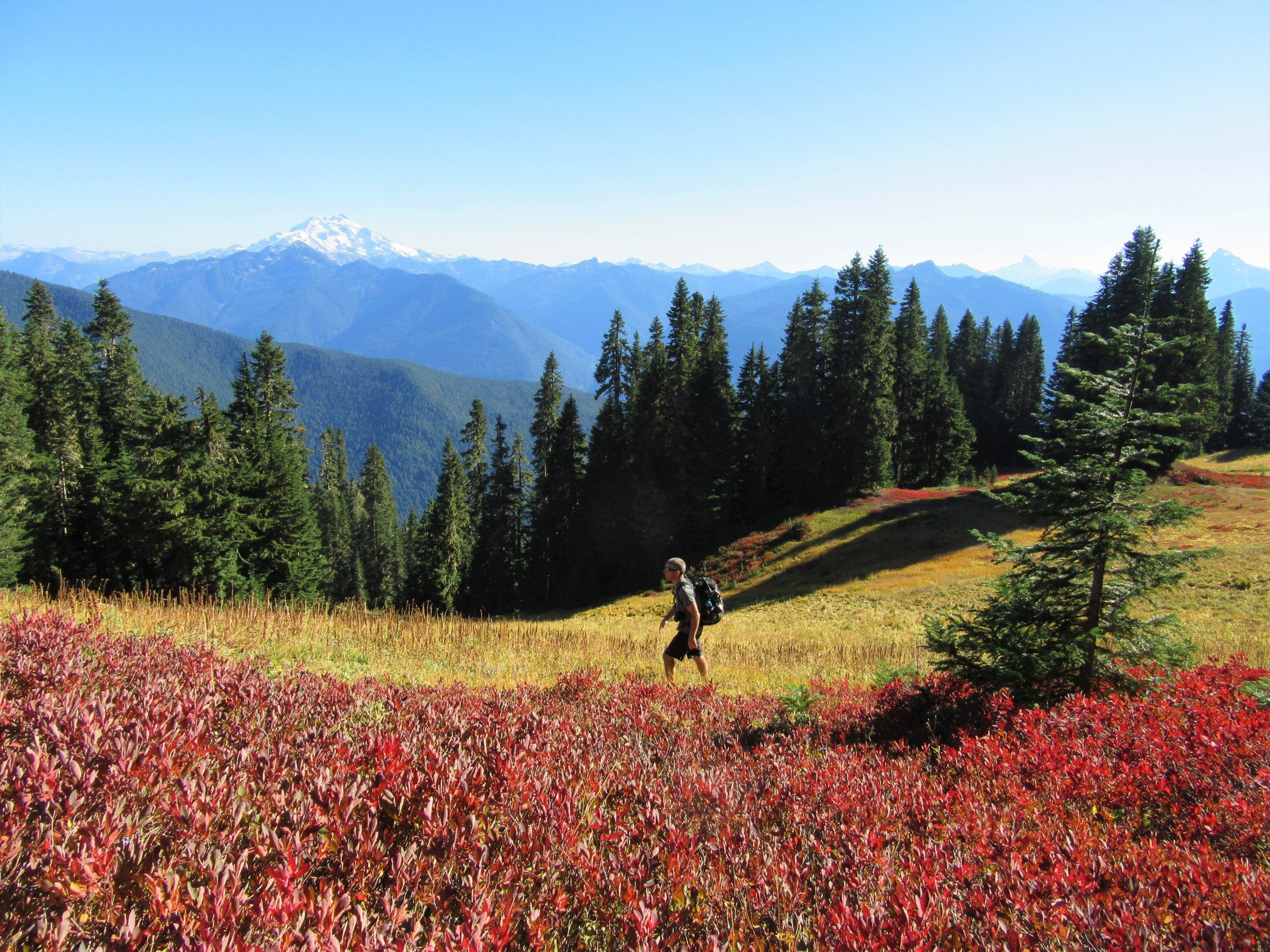
You want solitude? You’ve got it on the Huckleberry Mountain Trail. It’s one of the loneliest trails in the North Cascades. But there’s a price to pay in vertical feet, 4600 feet worth. Starting from valley bottom, the Huckleberry Mountain Trail is one of the last “complete” trails left in the North Cascades. A half-century of aggressive logging severed many of our trails from their valley roots (or worst- obliterating them).
Starting under a glorious canopy of ancient Douglas-fir the trail begins its long and winding way up the mountain. While the grade is good and tread intact (except for two slumping spots), undergrowth is encroaching upon this trail in places, making fall a good time to hike it. The trail receives little maintenance (actually, in these days of budgetary neglect, most of are trails receive little maintenance-a true national shame) and if we don’t use it we may lose it.
Alternating between short switchbacks and long traverses, the trail works its way up the broad mile high peak. Cross many creeks at first—but carry water for the dry summit ridge. At about 4.5 miles the grade eases as ridge crest is attained.
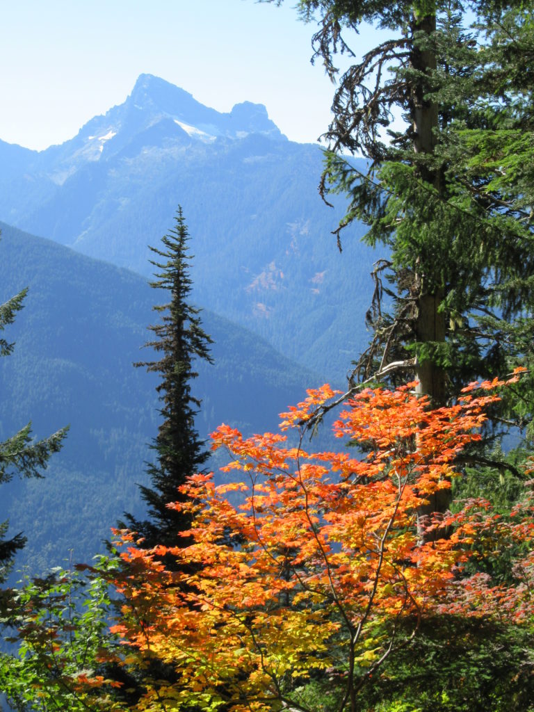
Now through thinning forest and pocket meadows enjoy expansive views east over the Suiattle to Glacier Peak and south to Circle Peak and White Chuck Mountain. Continue along the ridge straddling the Glacier Peak Wilderness boundary. At 6.5 miles on fading tread in meadows attain a 5,483-foot knoll. The trail once went to an old lookout site, but the tread beyond is mostly gone. Call it quits here and savor the views. To the east Buck Creek flows through an emerald valley of primeval forest. Above it stand Buckindy and Green Mountains. Glacier Peak steals the show though.
For detailed information on this hike and 124 others in the North Cascades, pick up a copy of my best selling Day Hiking North Cascades (Mountaineers Books). Get your copy today and start exploring this incredible region!